Location: Brownville, ME
Strenuous. Up to 4 miles daily. Bushwhacking.
Front country: tent camping in a designated campground.
A very unique opportunity: join a volunteer survey crew! We will clear brush with loppers, repaint yellow blazes on trees, replace US Boundary signs, and record the condition of metal survey markers on the trail corridor.
This project is sponsored by:

Service Project Details
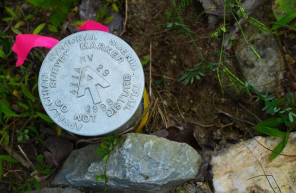
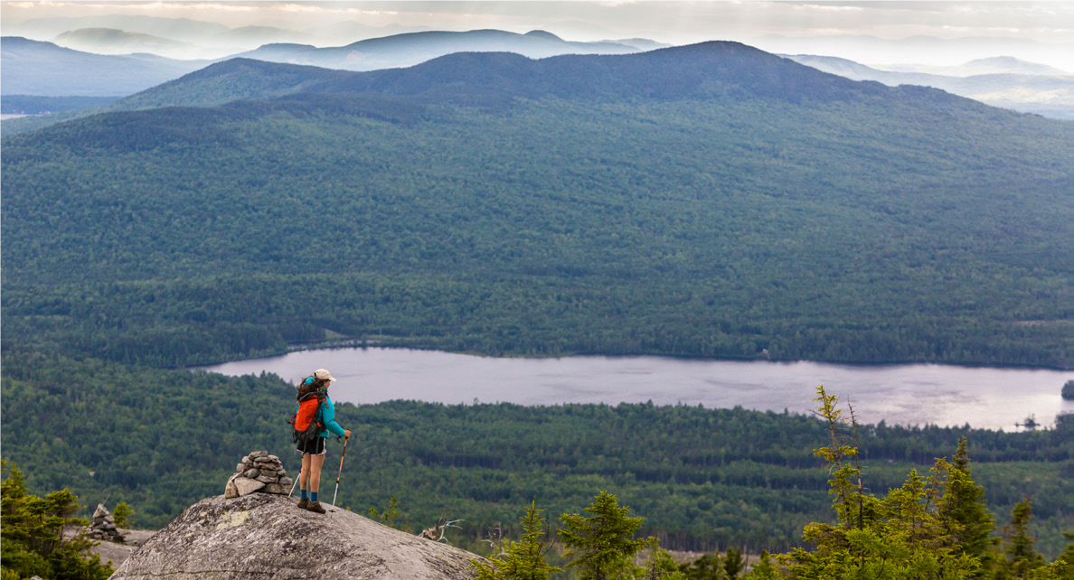
Help protect the Appalachian Trail (A.T.) and enjoy the rugged beauty of Maine’s 100-mile Wilderness! On this project, we will monitor and maintain the boundaries of the land protected for the Trail by the National Park Service. This public land is the backbone of the largest natural corridor that remains east of the Mississippi River, creating a haven and migration path for humans and animals alike. Maintaining the boundaries of this land helps to protect it from encroachments such as motorized vehicles, hunting, and illegal logging. Using a GPS, map, and compass, the crew will follow the surveyed boundaries of the trail corridor. We will clear brush with loppers, repaint yellow blazes on trees, replace US Boundary signs, and record the condition of metal survey markers, called “monuments.”
Each day, we will duck into the woods off the A.T., bushwhack to the boundary, and steadily move forward as we maintain the boundary line. At the end of the day, we’ll hike back on the A.T. and be amazed at how much ground we covered! Teams will maintain up to 1 mile of boundary line and hike 2 or more miles per day. Maintaining the boundary line involves off-trail bushwhacking over terrain that can be steep, rocky, brushy, and uneven. While we are not picking up rocks or digging, we will be on our feet hiking and bushwhacking all through the workday. Volunteers will drive to the nearest access point and then hike to the section of the boundary line that requires maintenance. Distance varies, but it’s usually less than a mile from the parking point to the boundary.
After experiencing the rugged beauty of the trail, volunteers will enjoy the planned Land Camping Area near the east branch of the Pleasant River. We hope you join us on this challenging and rewarding project. Volunteers like you are the heart and soul of the Appalachian Trail!
Project leaders: Aidalicia Swertfeger and Bob Schneider
Itinerary:
Sunday, August 4th. The volunteer group should be prepared to meet at location TBD in the early afternoon. The group will go through check-in, introductions, orientation, and set-up camp.
Monday, August 5th. Workday.
Tuesday, August 6th. Workday.
Wednesday, August 7th. Day off.
Thursday, August 8th. Workday.
Friday, August 9th. Workday.
Saturday, August 10th. Break down camp, goodbyes, and depart.
Nearest Cities
Beaver Cove, ME
Greenville, ME
Nearest Airports
Bangor International Airport (BGR) – ~69 miles away
Portland International Jetport (PWM) – ~147 miles away
Free Time Details
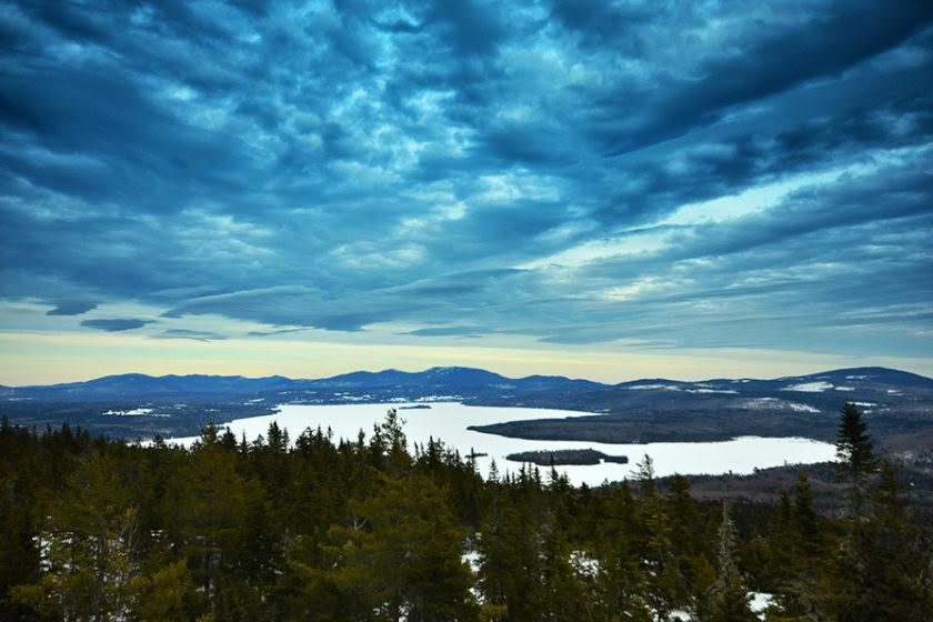
Plenty of outdoor recreation opportunities including hiking, biking, boating, fishing, swimming, or enjoying a scenic cruise on a historic steamboat. Nearby Greenville, Maine is a small, quiet community of under 2,000 but with a nice collection of stores, restaurants, and other attractions. Though the area relies upon visitors to Moosehead Lake, it doesn’t feel touristy. Greenville has retained its genuine, small town Maine feel. You won’t find any big box stores or restaurant franchises here, just family owned and operated businesses.
Accommodations
Front country: tent camping in a primative campground (Land Camping Area)
Difficulty
Strenuous. Up to 4 miles daily. Bushwhacking.
Task Details
Bending, cutting, hauling, swinging, digging, throwing, pushing, lifting, planting, etc.
Equipment List
View Equipment List


