Location: Southern UT
Strenuous. ~3 mile daily hikes
Front country: dispersed tent camping
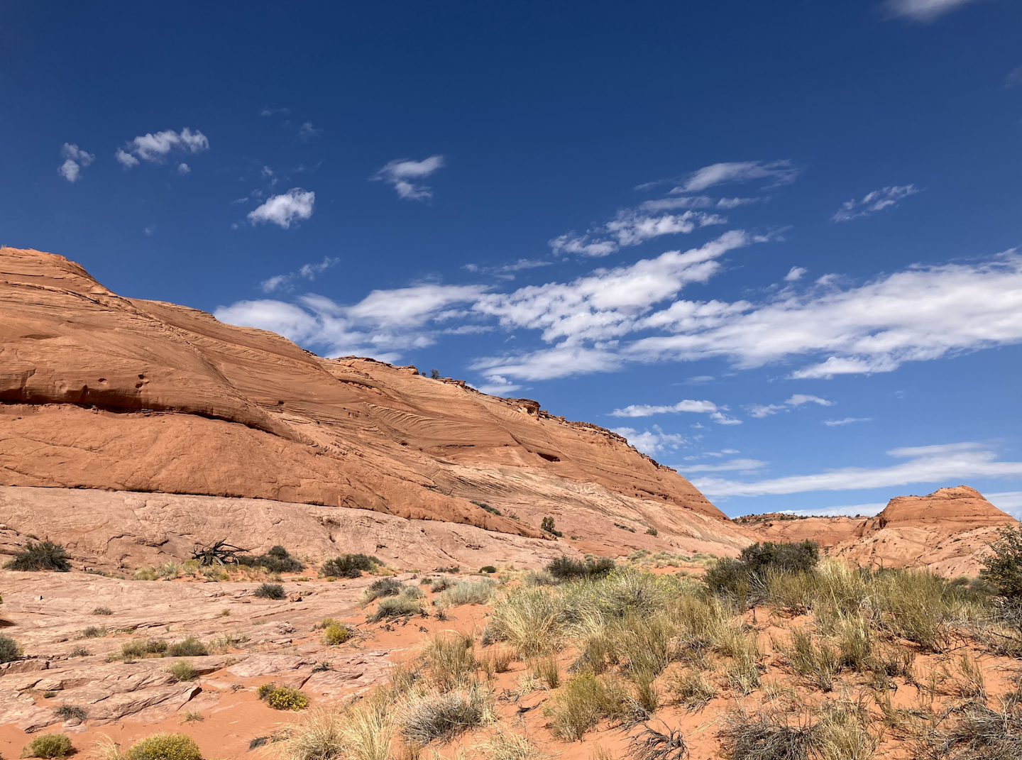
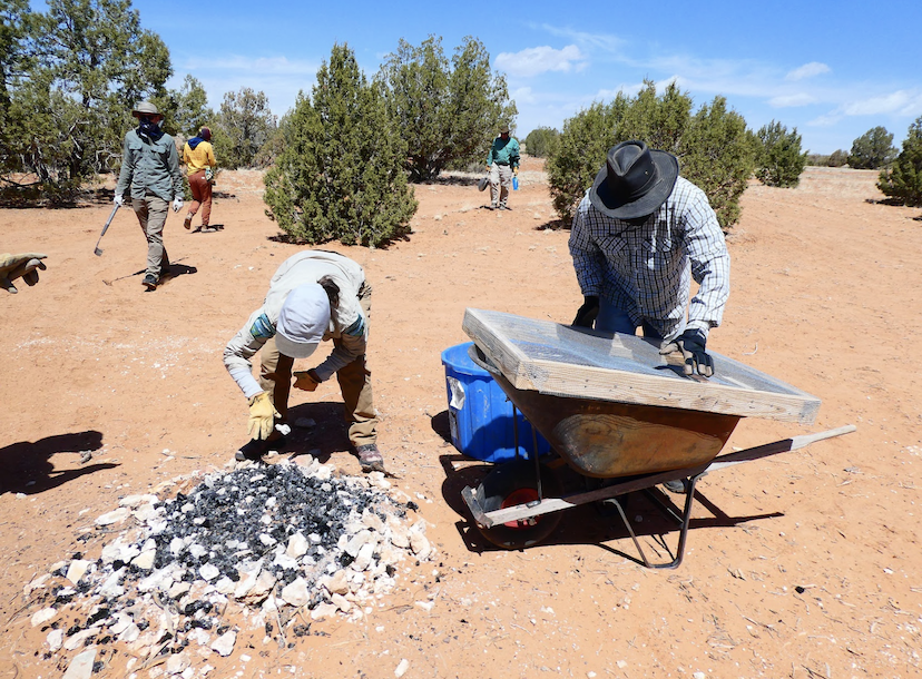
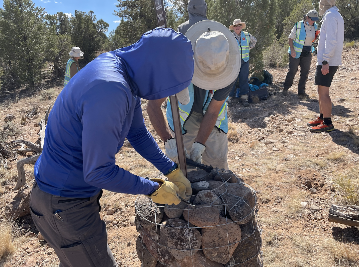
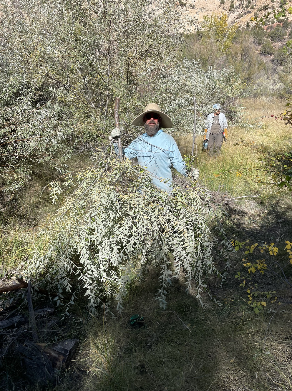
Join us at Grand Staircase-Escalante National Monument as we help remediate visitor impacts on GSENM along popular recreation corridors.
04/17/2025 – 04/23/2025


Did you know that our operational costs per volunteer are over double our $375 project fee? That’s right: it costs us anywhere from $750-$950 per volunteer, depending on the project. We are committed to keeping our project fees as low as possible, as well as offering scholarship opportunities for those who cannot pay the full fee. If you are in a position to help us cover these unrealized costs, please consider one of the donation options below. All donations over the $375 project fee are tax-deductible to the fullest extent of the law.
$375 – Standard Project Fee
$500 – Project Underwriting – (Project fee + $125 donation)
Underwriting this project means that you are helping WV cover a portion of this project’s expenses that exceed the project fees.
$750 – Project Fee & Scholarship Donation – (Project fee + $375 donation to our Scholarship Fund)
Cover your project fee and a scholarship recipient’s project fee. We are proud to offer as many scholarship opportunities as possible for those who want to give back to our public lands, but are prohibited by the cost.
$875 – Project Sponsorship – (Project fee + $500 donation)
Sponsoring this project means that you are helping WV cover an even larger portion of this project’s expenses that exceed the project fees. Visible recognition of your sponsorship (if desired) will be added to our website, annual report, and more.
Additional Donation
You can donate any additional amount you’re able to in the checkout cart (on the next page). Everything makes a difference!