Location: Northeast Arkansas
Strenuous. Daily hikes ~4 miles w/ 300’ elevation gain
Front country. Tent camping near cars in a designated campground
New project alert! Help the Forest Service reroute a trail to one of the most photographed destinations in Arkansas.
Service Project Details
Please review our Cancellation and Refund Policy carefully. By applying to a project, you acknowledge and accept these terms.
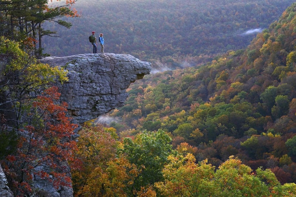
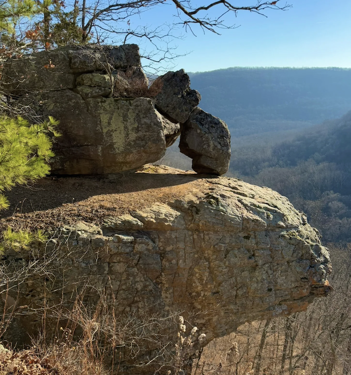
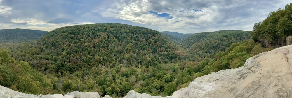
Whitaker Point Trail is the busiest trail on the Ozark–St. Francis National Forest and one of the most photographed destinations in Arkansas, with an average annual visitation of approximately 45,000 hikers. The 1.8-mile trail requires roughly 0.3 miles of reroute within designated wilderness, along with 0.4 miles of decommissioning of the existing alignment. These improvements are necessary to address erosion, reduce trail shortcutting, and relocate the trail farther from a nearby private property boundary to prevent public incursions.
The proposed reroute is covered under the approved Roberts Gap Environmental Assessment. In addition, approximately 800 feet of user-created shortcuts will need to be naturalized, and sections of the designated trail tread will be hardened to discourage switchback shortcutting. Ongoing drainage issues throughout the trail corridor will also be addressed through the installation of side ditches and the cleaning and maintenance of existing drainage features.
Our group will spend the week tent/car camping in a designated campground.
Project Leaders: Karen Zietlow and Ken Homan
Agency Website
Itinerary:
Sunday, May 17th. The Volunteer group meets at midday at a time/place TBD. The group will go through check-in, introductions, an orientation, and will help set up camp in preparation for the work week ahead.
Monday, May 18th. Workday.
Tuesday, May 19th. Workday.
Wednesday, May 20th. Day off.
Thursday, May 21st. Workday.
Friday, May 22nd. Workday.
Saturday, May 23. Break down camp, goodbyes, and depart.
Nearest Cities
Ponca, AR
Nail, AR
Nearest Airports
Northwest Arkansas National Airport (XNA) – ~80 miles away
Bill and Hillary Clinton National Airport (LIT) – ~150 miles away
Free Time Details
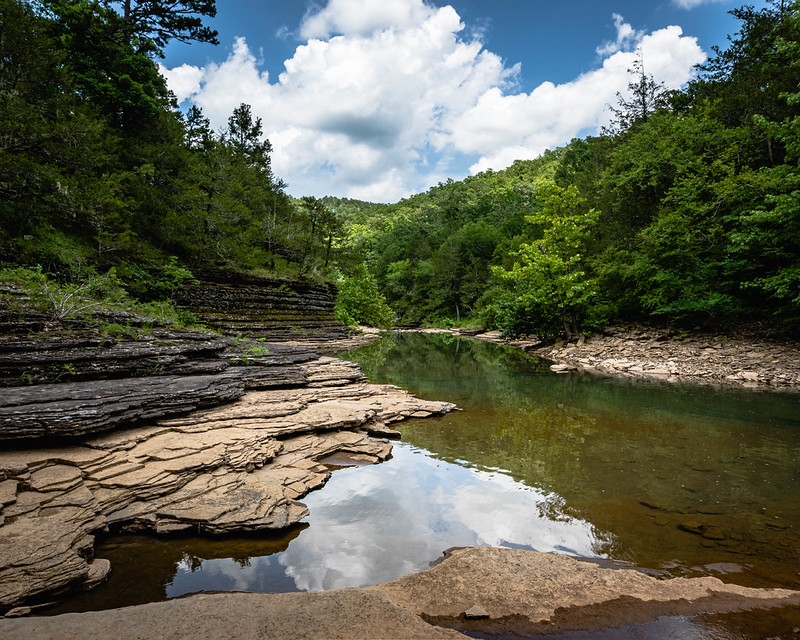
Volunteers can access multiple trails to Upper Buffalo Wilderness (USFS), Buffalo National River (NPS), Upper Buffalo Bike Trails, Glory Hole Trail, Alum Cove National Trail, Fayetteville, AR. Volunteers can hike, bike, fish (with a license), view wildlife, go rafting or kayaking, or simply relax.
Accommodations
Front country. Tent camping near cars in a designated campground
Difficulty
Strenuous. Daily hikes ~4 miles w/ 300’ elevation gain
Task Details
Bending, cutting, hauling, swinging, digging, throwing, pushing, lifting, kneeling, crouching, sloped terrain, etc.
Equipment List
View Equipment List